
 Mountain Trekking
Rongai Route
The quiet northern approach near the Kenyan border: gentle, dry and remote, with a descent down the Marangu side.
Days6–7
Distance73 km
DifficultyModerate
SleepingCamping
CrowdsQuiet
About the route
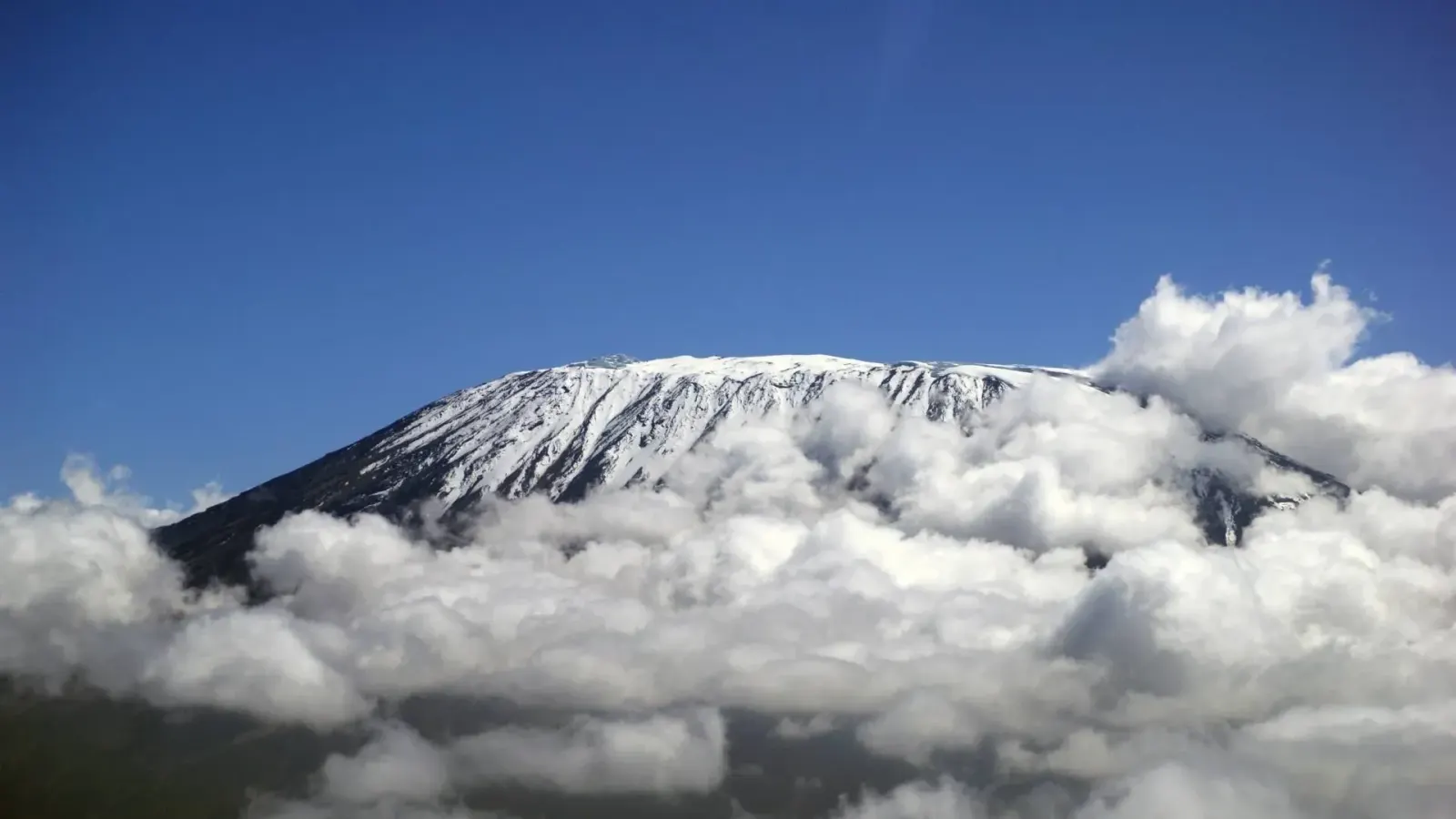
Rongai is the only route that climbs Kilimanjaro from the north, starting close to the Kenyan border. The northern slopes lie in the mountain's rain shadow, so Rongai is the driest route and a good choice in the shoulder seasons.
The gradient is gentle and the trail is far quieter than the southern routes. The seven-day version detours to Mawenzi Tarn, a small lake below the spires of Mawenzi, which adds both scenery and acclimatisation. From Kibo Hut the summit is reached by way of Gilman's Point, and you descend down the Marangu trail, crossing the mountain from north to south.
Good for: climbers who want a quiet trail, those climbing in April, May or November, and anyone who prefers a steady walk to steep scrambles.
Highlights
- Quietest trail on the mountain
- Driest route, good in the shoulder seasons
- Mawenzi Tarn below the Mawenzi spires
- Crosses Kilimanjaro from north to south
Map
Map of the Rongai Route
Press a camp on the map or in the list below to see its altitude.
Loading map…
Trail lines and camps: © OpenStreetMap contributors. Altitudes from park signposts where available.
Altitude profile
Day by day
The Rongai Route in 7 days
-
Day1
Rongai Gate to Simba Camp
After the drive round to the northern side of the mountain, the walk begins through farmland and pine plantation into a narrow belt of forest, to Simba Camp at the edge of the moorland.
-
Day2
Simba Camp to Second Cave Camp
A steady climb across open moorland with Kibo ahead and, on clear mornings, the plains of Kenya behind you.
-
Day3
Second Cave Camp to Kikelewa Camp
You leave the main trail and head towards the jagged peaks of Mawenzi across heath and moorland to Kikelewa Camp.
-
Day4
Kikelewa Camp to Mawenzi Tarn Hut
A short, steep climb to the small lake of Mawenzi Tarn, set in a cirque below the spires of Mawenzi. The afternoon is free to rest or walk higher to help acclimatise.
-
Day5
Mawenzi Tarn Hut to Kibo Hut
You cross the alpine desert of the saddle between Mawenzi and Kibo to Kibo Hut, the base for the summit attempt.
-
Day6
Summit day: Uhuru Peak, then down to Horombo Hut
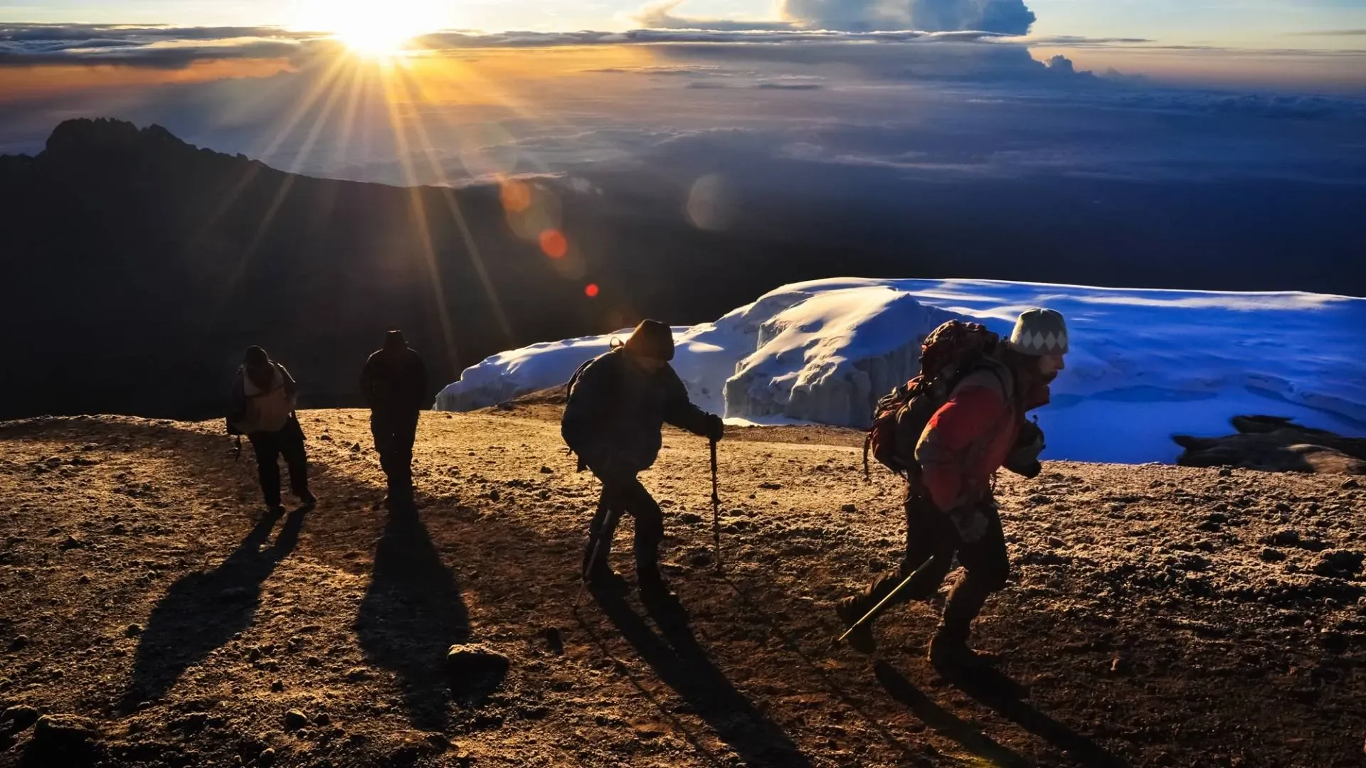
You start around midnight and climb the steep scree in switchbacks to Gilman's Point (5,685 m) on the crater rim, reached around sunrise. The rim path leads past Stella Point to Uhuru Peak (5,895 m) in another one and a half to two hours. You return to Kibo Hut for a short rest and continue down to Horombo Hut.
-
Day7
Horombo Hut to Marangu Gate
A long but easy descent through moorland and rainforest, past Mandara Hut, to Marangu Gate, where you collect your summit certificate.
Our climbs
Climb Rongai Route with us
Guided climbs on fixed itineraries, each one tailored to your dates and pace.
Mountain Trekking Mount Kilimanjaro
Other routes on Mount Kilimanjaro
Plan with us
Ready to climb Rongai Route?
Tell us your dates, your fitness and what you want to see. We will recommend the mountain and route that give you the best chance of a great climb.