
Trekking & climbing in Tanzania
The Mountains of Tanzania
From the Roof of Africa to an active volcano in the Rift Valley: every mountain we climb, with its routes, camps, altitudes and maps.
Choose your mountain
Every summit is a different climb
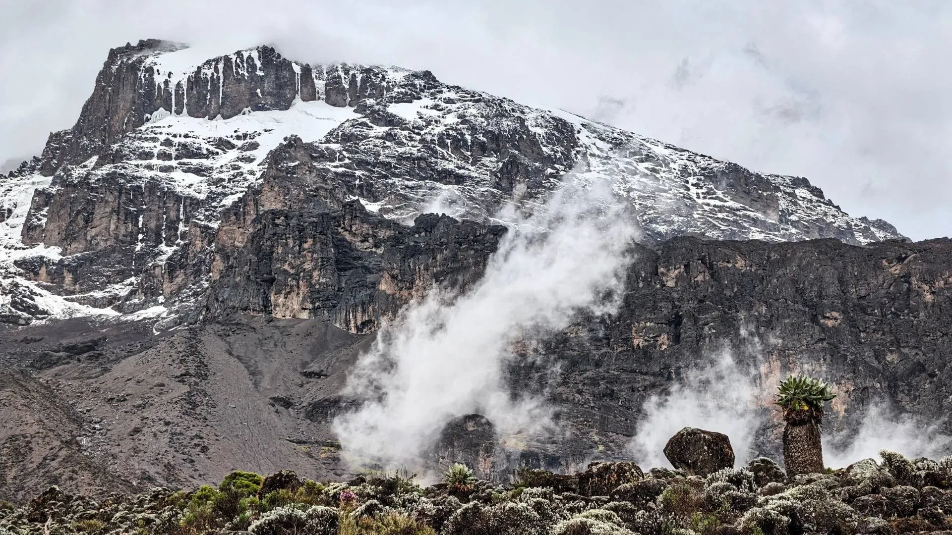
Tanzania's mountains are all volcanoes, but no two are alike. Kilimanjaro is a week-long walk through five climate zones, Meru a steep crater rim above a national park, Ol Doinyo Lengai a single night on an active volcano, and Hanang a quiet summit far from any crowd.
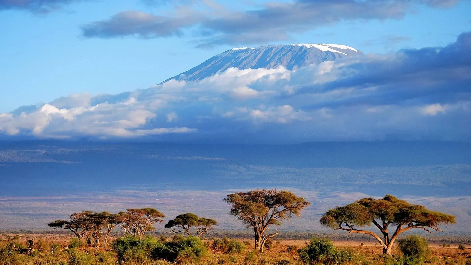
5,895 m · 19,341 ft
Kilimanjaro Region, northern Tanzania
Mount Kilimanjaro
Africa's highest peak at 5,895 m. Seven routes lead through five climate zones to Uhuru Peak, and none needs technical climbing: the challenge is the altitude.
Explore →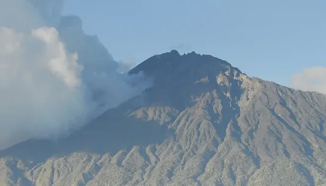 4,566 m · 14,980 ft
Arusha National Park, Arusha Region
Mount Meru
A dormant volcano in Arusha National Park. A three to four day climb leads through forest full of wildlife to a dramatic crater rim, with Kilimanjaro on the horizon at sunrise.
Explore →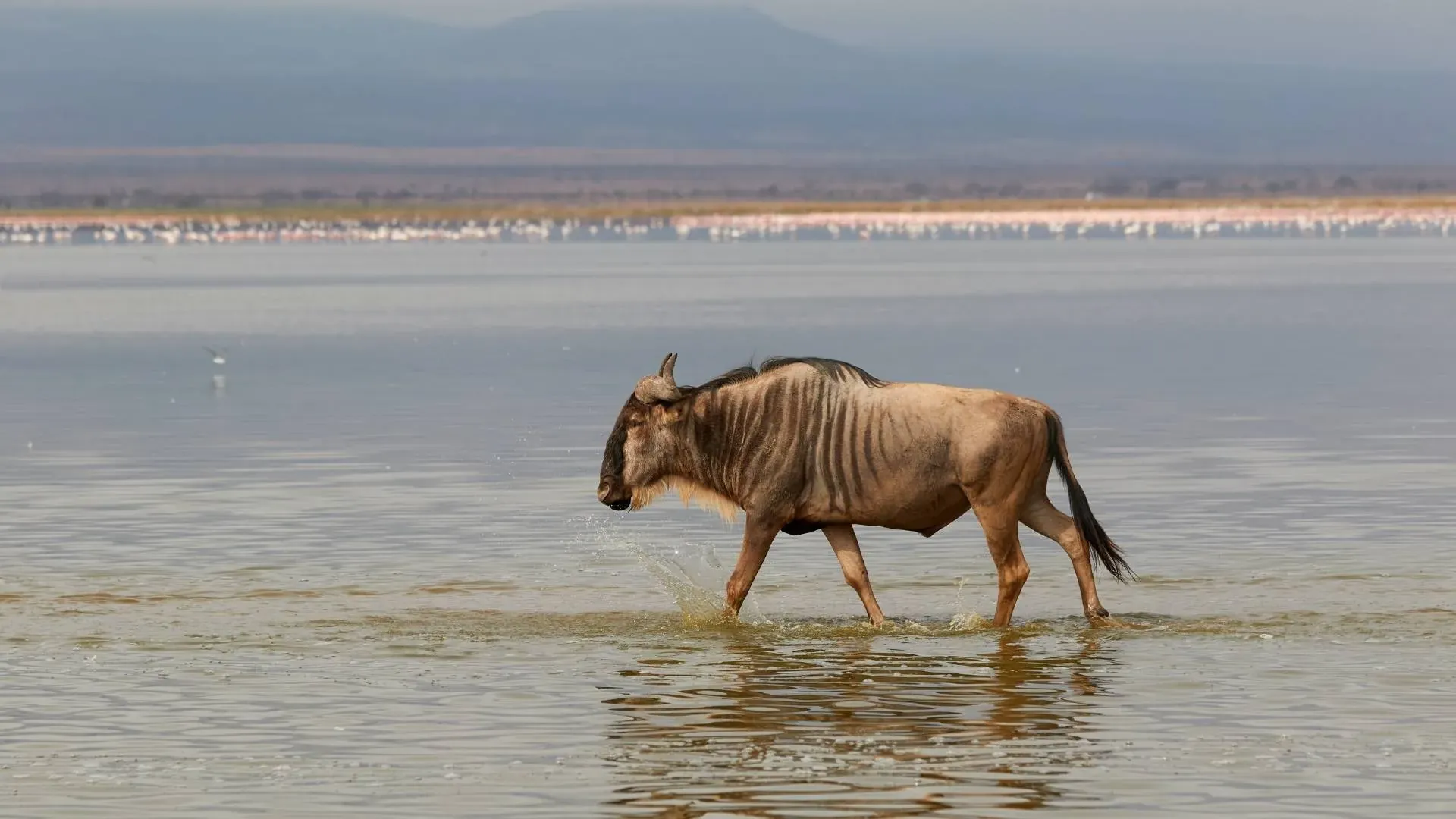 2,962 m · 9,718 ft
Rift Valley, south of Lake Natron, Arusha Region
Ol Doinyo Lengai
An active volcano in the Rift Valley and the only one on Earth that erupts natrocarbonatite lava. It is climbed in a single night from Lake Natron.
Explore → 3,420 m · 11,220 ft
Hanang District, Manyara Region
Mount Hanang
An extinct volcano and one of Tanzania's highest mountains, climbed in one or two days from Katesh. You will often have it to yourself.
Explore →Map
Every route on one map
Press a route on the map or in the legend to highlight it, then open its guide.
Trail lines and camps: © OpenStreetMap contributors. Altitudes from park signposts where available.
At a glance
Compare Tanzania's mountains
| Mountain | Height | Time needed | Difficulty | Best months |
|---|---|---|---|---|
| Mount Kilimanjaro | 5,895 m (19,341 ft) | 5–9 days | Challenging | January to early March, and June to October |
| Mount Meru | 4,566 m (14,980 ft) | 3–4 days | Challenging | June to October, and December to February |
| Ol Doinyo Lengai | 2,962 m (9,718 ft) | 1–2 days | Strenuous | June to October, when it is driest and coolest |
| Mount Hanang | 3,420 m (11,220 ft) | 1–2 days | Challenging | June to October, and December to February |
Plan with us
Not sure which mountain or route?
Tell us your dates, your fitness and what you want to see. We will recommend the mountain and route that give you the best chance of a great climb.
Kilimanjaro routes compared: before you climb
To climb Kilimanjaro you need no technical skill, but you do need time. The routes take five to nine days, and longer routes such as Lemosho and the Northern Circuit give your body more time to adjust, so more climbers reach the top. Machame is the most popular, and Marangu is the only route with huts.
Many climbers warm up on Mount Meru first, which also means walking among giraffe and buffalo. For something different, Ol Doinyo Lengai is climbed in a single night. Our Kilimanjaro guide covers costs, kit and altitude, and Kilimanjaro is protected as a UNESCO World Heritage Site.